Heavy rains may continue, and flood risks could persist for more than two weeks
August 5
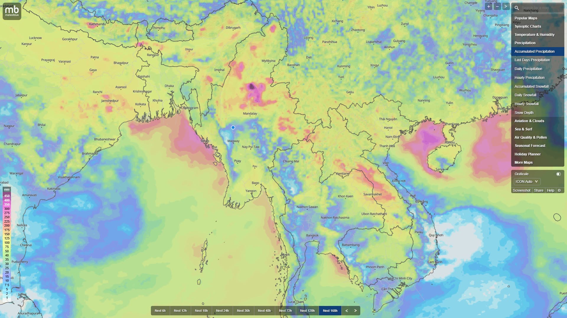
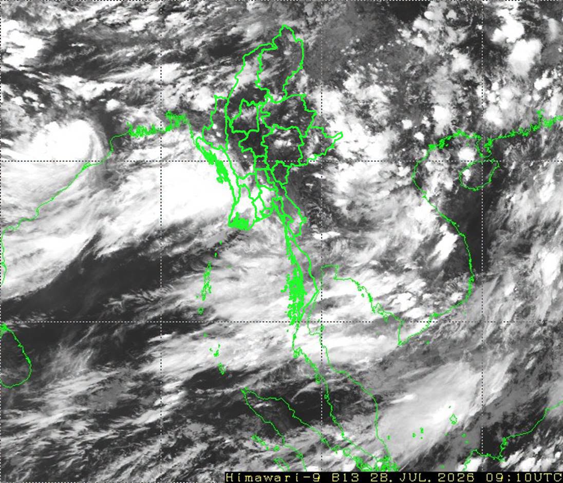
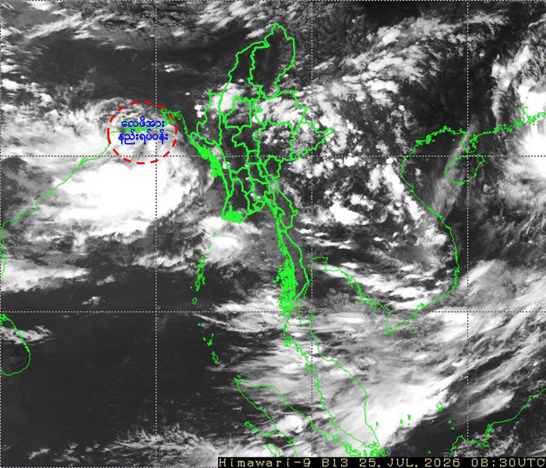
Meteorologist U Win Naing has forecast that due to the intensified monsoon inflow between August 5 and 6, rainfall of 50 mm to 90 mm could occur in the Rakhine coastal region, Kachin State, and upper Sagaing Region.
Between August 7 and 9, the monsoon current is expected to strengthen further, with rainfall of 150 mm to 200 mm possible in Rakhine State, Tanintharyi Region, upper Sagaing Region, Kachin State, and northern Shan State. Dense rainfall and increased precipitation are also expected in eastern/southern Bago Region and Ayeyarwady Region.
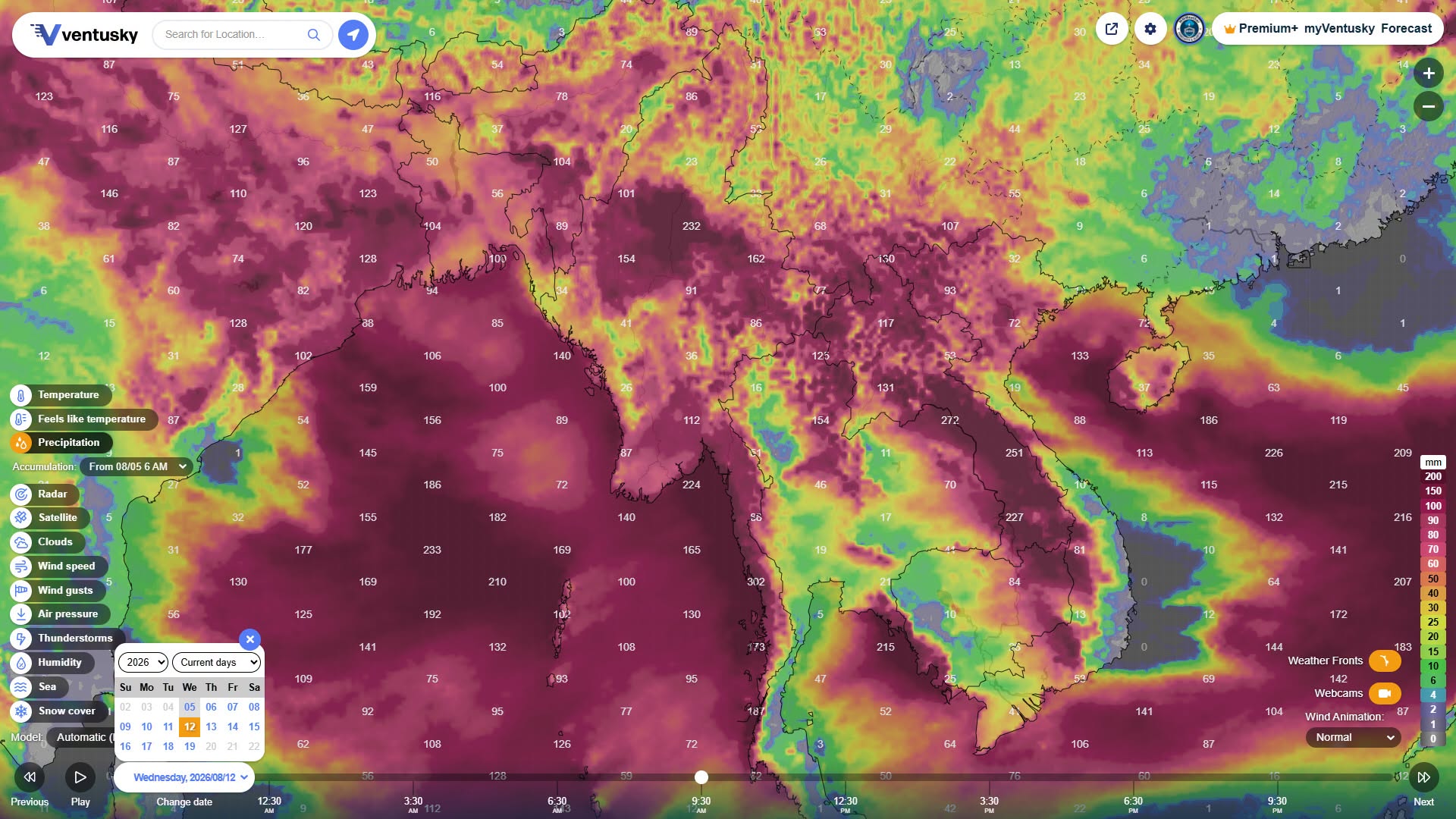
From August 10 to 12, rainfall is forecast to reach its highest cumulative levels—over 300 mm in Rakhine State and the Tanintharyi coast, and 230 mm to 260 mm in upper Sagaing Region, Kachin State, and northern Shan State.
In Ayeyarwady Region, 7-day rainfall of 105 mm to 150 mm is possible, with fairly dense rain expected to continue.
As a special assessment for Lay Myet Hna Township, located in the Ngawun River basin, the river is expected to remain above the danger level due to rising river levels, inflows from upstream mountainous areas (Katha, Bhamo, Sagaing), and flash floods from the eastern side of the Rakhine Yoma range.
Between August 6 and 12, rainfall exceeding 200 mm is expected to continue in upper Sagaing Region and Kachin State, which could cause a sudden surge of upstream water inflows. As a result, the Ngawun River basin, including Lay Myet Hna Township, may see a slow decline in river levels, with flood conditions potentially remaining a concern for another 7 to 14 days.
In upper Sagaing Region, Kachin State, and northern Shan State, total rainfall of 165 mm to 260 mm could fall heavily within 7 days. Along the Katha, Indaw, Bhamo, Myitkyina, Lashio, and Hsipaw routes, water levels of the Ayeyarwady, Chindwin, and Namtu rivers could rise above danger levels, and flash floods may occur, warranting special concern.
In eastern Bago Region, rainfall of 120 to 170 mm is possible; in the south, 140 to 190 mm; and in the west, 85 to 125 mm. In Bago city, Waw, Taungoo, and Phyu, the Sittaung and Bago rivers are expected to rise, potentially causing flooding in low-lying farmland and urban areas.
Meteorologist U Win Naing has forecast that Rakhine State and Tanintharyi Region, being directly affected by the monsoon inflow, could receive the highest total rainfall of 230 mm to over 340 mm within 7 days.
MyoTaw News Channel

 Weather News