A very strong storm may form in the South China Sea, with heavy rainfall expected in six regions and states
July 20
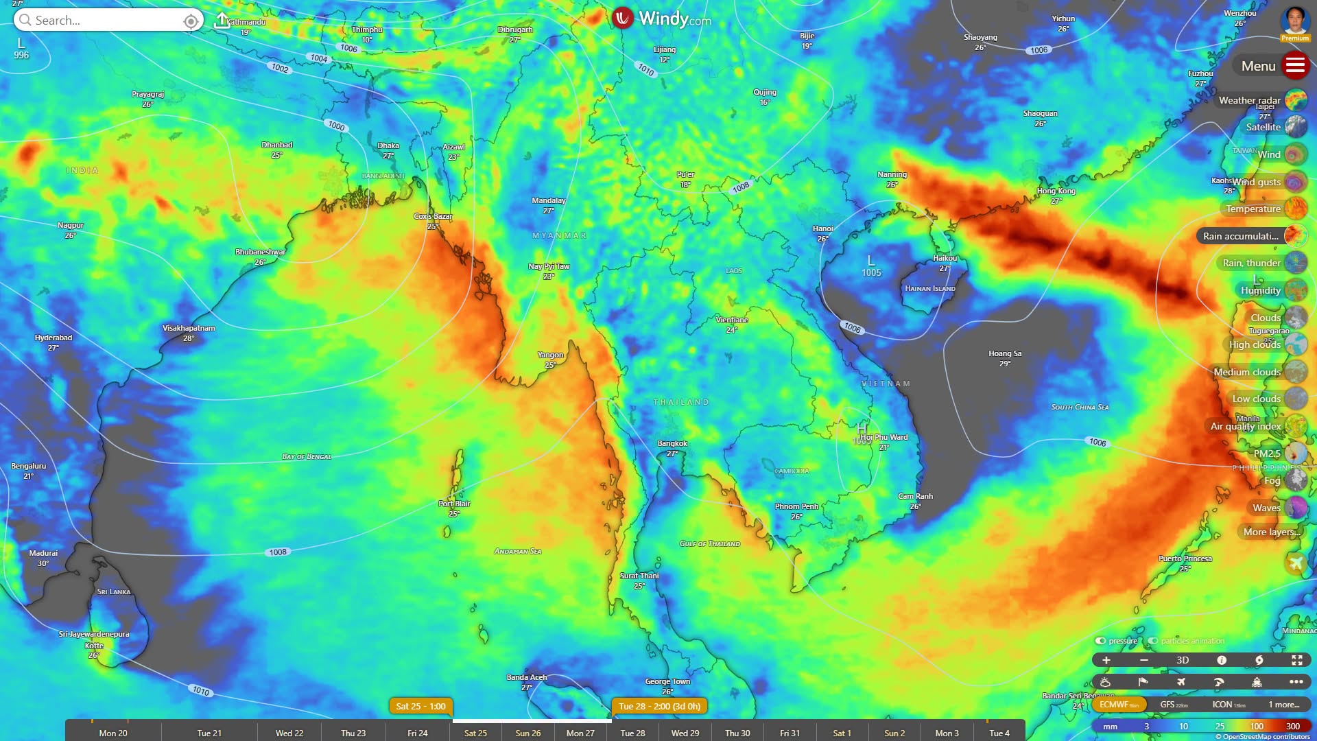
A very strong storm may form in the South China Sea, north of the Philippines, and the southern waters of Taiwan Island, according to meteorologist U Win Naing's forecast and analysis.
The storm is expected to move toward the eastern coast of China's southern Guangdong Province and Hong Kong on July 26 and 27, entering inland areas with strong wind speeds, he said.
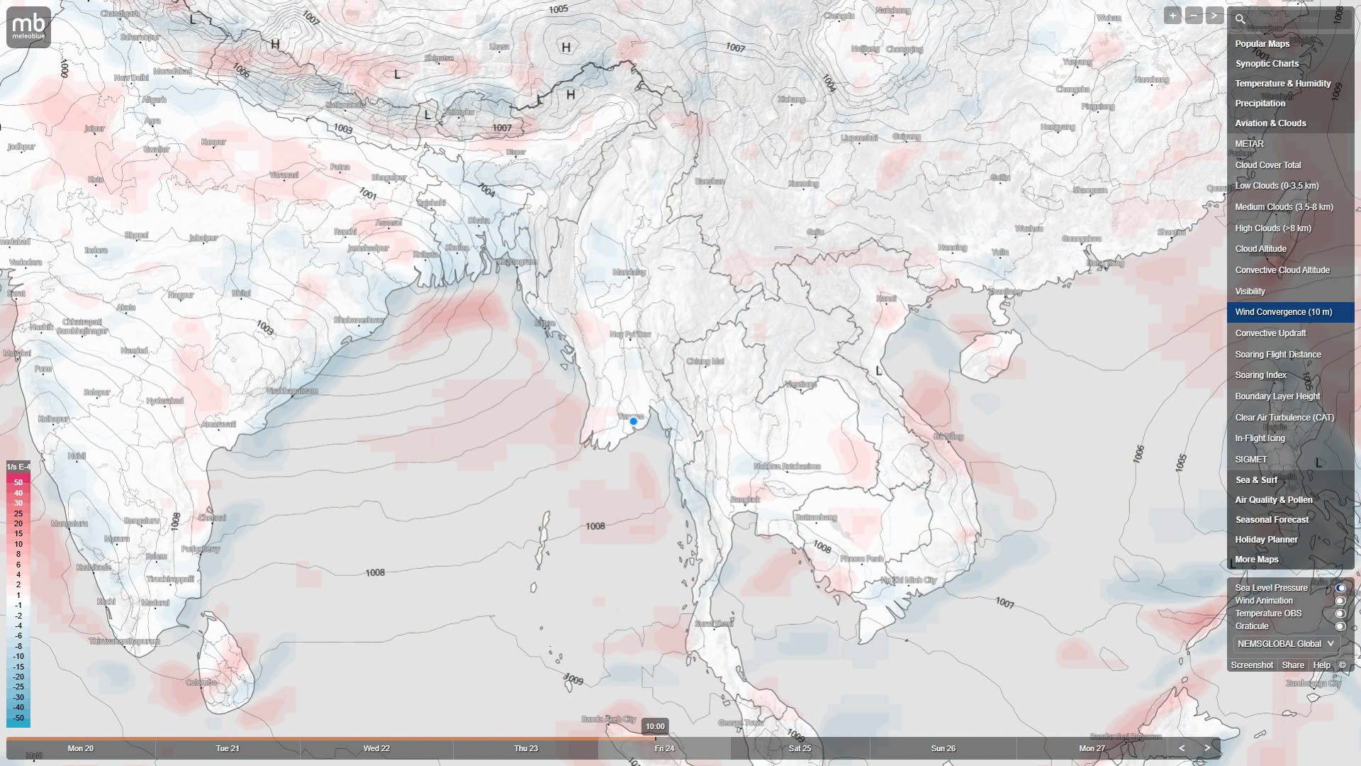
A broad low-pressure zone (upper-level trough) is also forming in the northern Bay of Bengal, drawing all southwest wind currents forcefully toward the strong storm and low-pressure area in the South China Sea, according to reports.
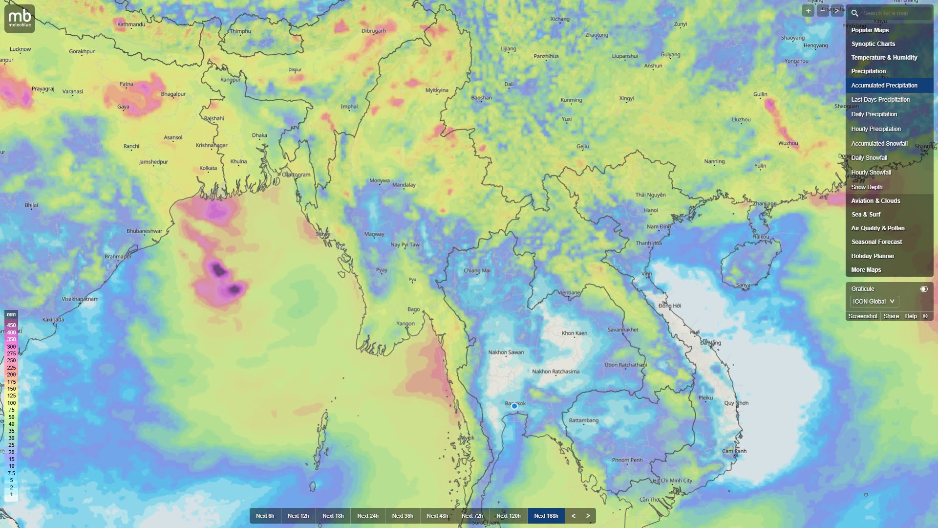
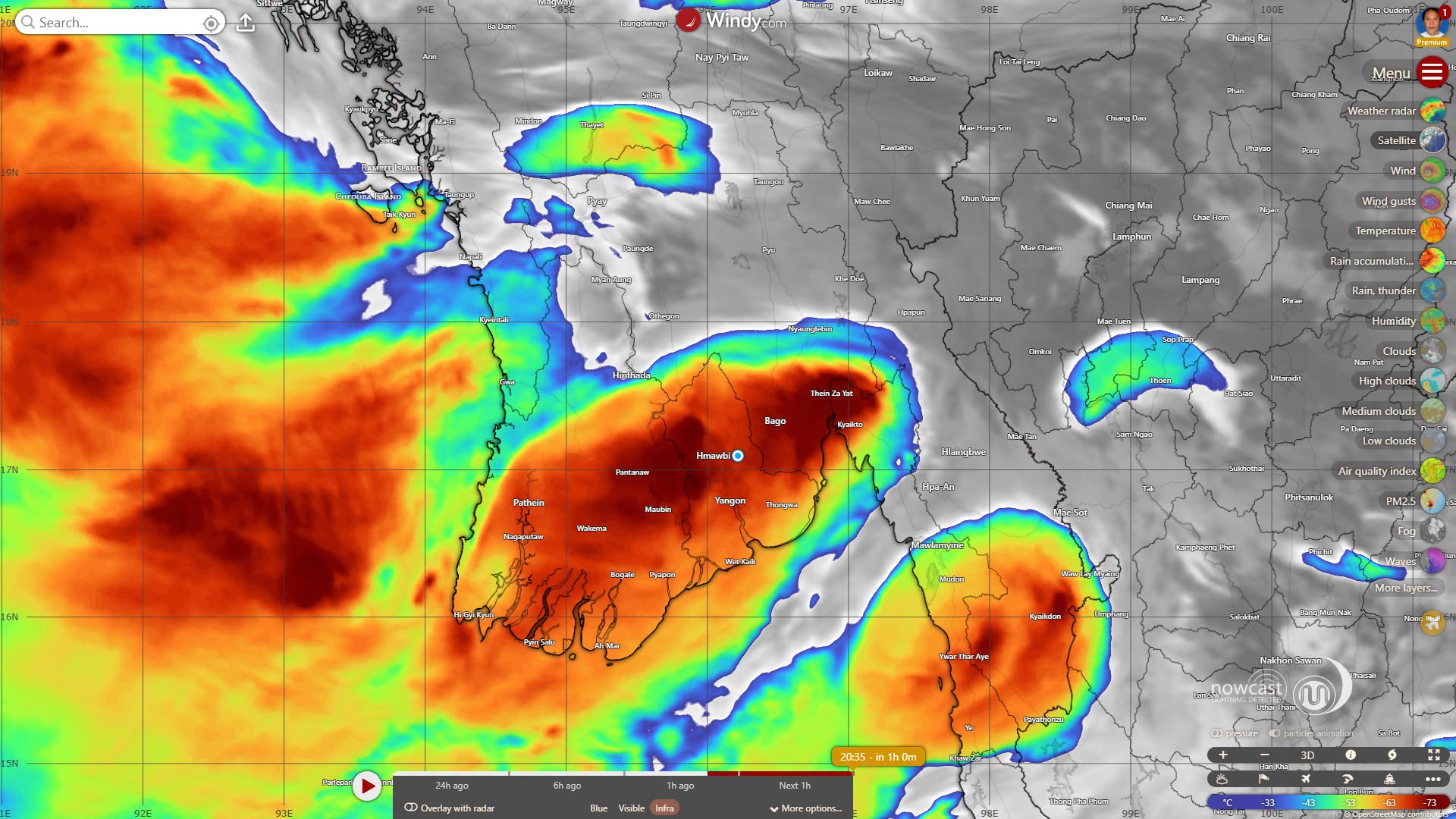
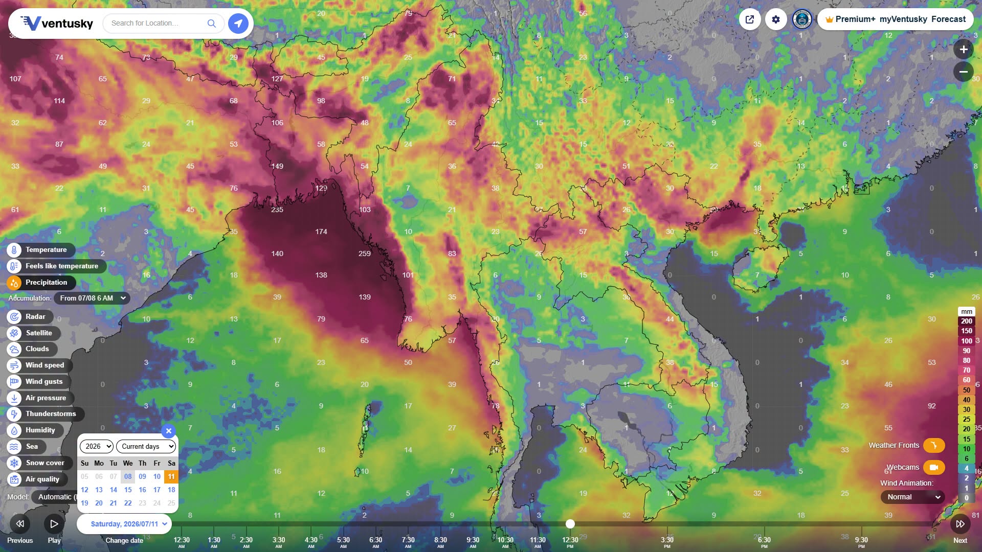
From the morning of July 25 to July 27, the total possible rainfall is expected to be highest in the Rakhine State coastline, Ayeyarwady Region, Yangon Region, Bago Region (southern), Mon State, and Kayin State, which are the zones with the strongest direct monsoon wind inflow, leading to high rainfall amounts, it said.
In zones with moderate to heavy rain, such as Kachin State, Chin State, and Sagaing Region (upper), persistent low-pressure troughs and continuous monsoon wind inflow are expected to maintain good rainfall, according to reports.
In Mandalay Region, Magway Region, Sagaing (lower), and Shan State, only scattered or isolated showers are possible, meteorologist U Win Naing forecast and analyzed.
MyoTaw News Channel

 Weather News